RanikMap31: Difference between revisions
Jump to navigation
Jump to search
No edit summary |
GNIKOLEYCHUK (talk | contribs) No edit summary |
||
| (One intermediate revision by one other user not shown) | |||
| Line 1: | Line 1: | ||
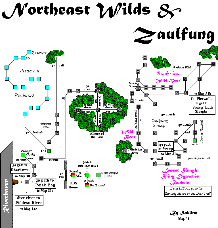
{{Map Error|errors=the TRAIL out of the lower portions of boars needs to be marked as a BOAR TRAIL b/c the Ranger only trailMARKER interferes with the exit. It's been bugged, but how knows how long before it gets fixed.}} |
|||
<imagemap> |
<imagemap> |
||
Image:Map31.gif |
Image:Map31.gif |
||
| Line 9: | Line 8: | ||
rect 125 625 200 675 [[RanikMap31c]] |
rect 125 625 200 675 [[RanikMap31c]] |
||
rect 50 677 155 740 [[RanikMap14c]] |
rect 50 677 155 740 [[RanikMap14c]] |
||
rect 15 177 175 405 [[Piedmont]] |
|||
desc none |
desc none |
||
</imagemap> |
</imagemap> |
||
Latest revision as of 11:31, 19 June 2017

|
| ||||||||||||||||||||||||||||||||||||||||||||