RanikMap2d: Difference between revisions
Jump to navigation
Jump to search
m (added basic information) |
(Converted to Wiki ImageMap) |
||
| Line 1: | Line 1: | ||
<imagemap> |
|||
<html><img src="http://www.elanthipedia.com/ranik/Map2d.gif" USEMAP="#Map2d.gif"/><br/> |
|||
| ⚫ | |||
rect 446 204 545 268 [[RanikMap2c]] |
|||
| ⚫ | |||
rect 136 492 225 559 [[RanikMap2c]] |
|||
<AREA SHAPE="RECT" COORDS="446,204,545,268" HREF="RanikMap2c" ALT="To Map 2c"/> |
|||
rect 682 492 766 557 [[RanikMap2c]] |
|||
<AREA SHAPE="RECT" COORDS="136,492,225,559" HREF="RanikMap2c" ALT="To Map 2c"/> |
|||
desc none |
|||
</imagemap> |
|||
<AREA SHAPE="RECT" COORDS="682,492,766,557" HREF="RanikMap2c" ALT="To Map 2c"/> |
|||
</MAP> |
|||
</html> |
|||
Map2d is in the [[Zoluren]] province.<br/> |
Map2d is in the [[Zoluren]] province.<br/> |
||
Revision as of 21:35, 19 March 2007
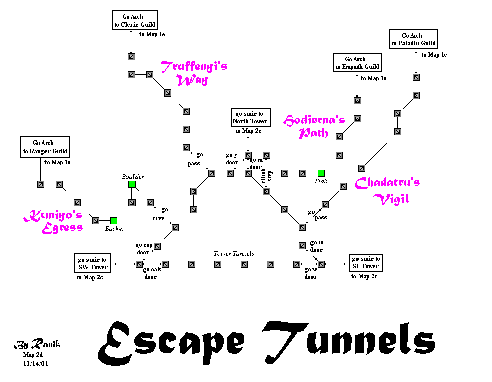
Map2d is in the Zoluren province.
It has 0 shops:
Notable People:
Landmarks worthy of their own entry:
Other Notes:
Truffenyi Way and Kuniyo Egress labels should be swapped.
Return to Ranik Maps